

Denounce with righteous indignation and dislike men who are beguiled and demoralized by the charms pleasure moment so blinded desire that they cannot foresee the pain and trouble.
Read More
GIS & Laser Scanning
GIS & Laser Scanning
3D point clouds, topographical mapping, and precise reality capture services.
Precision GIS & Laser Scanning Solutions for Accurate Planning and Execution
Key Services
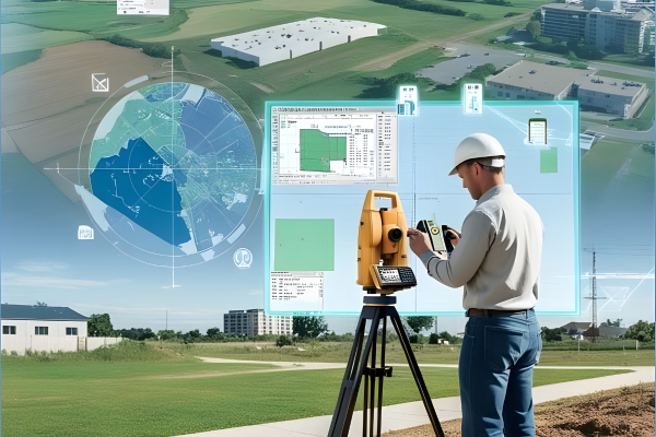
Advanced geospatial and digital engineering solutions enabling accurate data capture, intelligent analysis, and seamless project coordination.
GIS Mapping & Spatial Analysis
Comprehensive Geographic Information System (GIS) mapping and spatial data analysis to support informed decision-making and efficient project planning.
Laser Scanning & Data Capture
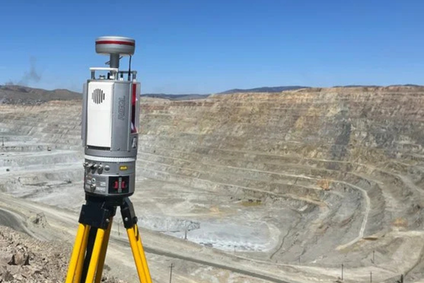
High-resolution laser scanning of terrain, structures, and infrastructure for precise measurements and accurate digital representation.
3D Modeling & Digital Twin Creation
Creation of detailed 3D models and digital twins to enhance design visualization, coordination, and facility management.
BIM & CAD Integration
Seamless integration of GIS and scanned data into BIM and CAD platforms for improved collaboration and project coordination.
Surveys, Documentation & Assessments
As-built documentation, topographic surveys, volumetric calculations, and infrastructure assessments for accurate and reliable project execution.
GIS & Laser Scanning Services
PRECISION REALITY CAPTURE • SPATIAL ANALYSIS • DIGITAL TWINS
Laser Scanning Applications
- Construction & Building Modeling: As-Built verification & accuracy checks
- Architecture: Capturing existing conditions, Space Planning, VR/AR support
- Industrial: Digital Twins for manufacturing facilities & equipment alignment
- Oil & Gas: Scanning offshore platforms & refineries for clash detection
- Generating precise 3D models of complex geometries
GIS Services & Mapping
- Topographical Mapping & Remote Sensing
- GIS Data Capture & Utility Path Mapping
- Distribution Network Analysis & Spatial Analysis
- Environmental Analysis & Impact Assessment
- Asset Management & Location Intelligence
3D Scanning Deliverables
- 3D Point Cloud Data in standard formats (LAS, PTS, RCP)
- Intelligent 3D CAD Models for Design Analysis
- Precise 2D Drawings & Floor Plans derived from scans
- Detailed Reports on deviations, structural clashes & insights
Data Management & Visualization
- Comprehensive Data Collection & Management strategies
- Advanced Mapping & Geographic Visualization
- Digital Twin generation for operational efficiency
- Identifying clashes in piping and structural designs
- Integration with existing engineering workflows
Our Commitment
Focused on delivering accurate data, advanced technology, and reliable project outcomes.
01
Accurate Spatial Data
02
Advanced Technology Usage
03
Reliable Insights for Decision-Making
04
Efficient Project Execution
Capture reality with unmatched accuracy.
Get advanced GIS and laser scanning solutions for better planning.